
How AI Is Changing Hurricane Forecasting Research
The 2025 Atlantic hurricane season proved AI models can match or beat traditional forecasts in track and intensity while using far less computing power. This explainer breaks down the key models, their verified performance, the limitations researchers are still working on, and what the 2026 frontier looks like for students studying AI in meteorology.
Updated:
What 2025 Proved
The 2025 Atlantic season was the point where AI hurricane forecasting research stopped looking like a clean classroom demo and started looking like operationally relevant science. Google DeepMind's model led NHC verification for both track and intensity across nearly all forecast periods, and it outperformed the HCCA consensus that forecasters often treat as the best blended guidance [1][2]. ECMWF's AIFS gave the sharper contrast: strong track skill, but intensity skill so weak that the main lesson was not "AI wins everywhere," but that track and intensity are still different forecasting problems [1][2].
That distinction matters because a hurricane forecast only becomes useful when it passes two tests at once: it verifies against the past, and it still makes physical sense. A model can place the center in the right place and still miss the storm structure that drives surge, wind damage, and emergency decisions. The 2025 season did not prove that AI solved hurricanes. It proved that an AI system could compete with, and sometimes beat, the best operational guidance on the core scoreboard forecasters actually use.
How AI Forecasts Differ
Traditional numerical weather prediction pushes physical equations forward in time. AI models take a different route: they learn patterns from historical and reanalysis data, then infer the next state much faster than a full physics simulation can. That speed is not a side benefit. It changes how many ensembles researchers can afford, how many experiments they can rerun, and how quickly they can compare one forecast idea against another before a storm comes ashore.
Why Compute Matters
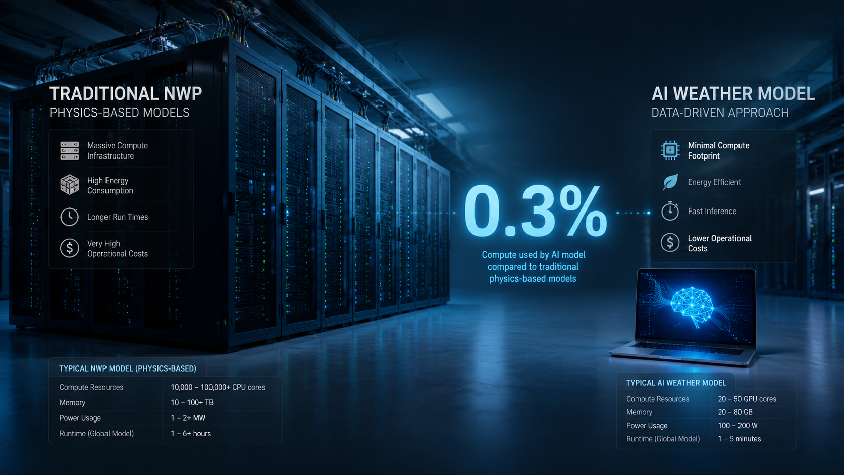
NOAA's AI Global Forecast System (AIGFS) uses only 0.3% of the compute of the traditional GFS and can produce a 16-day forecast in about 40 minutes. Its AI-GEFS ensemble uses about 9% of the compute of the operational GEFS while extending forecast skill by 18 to 24 hours [3]. For students, that is the part of the story that changes the research frontier: ensemble forecasting stops being a rare privilege of the biggest machines and becomes something researchers can test, tune, and compare much more often.
Where The Models Still Break Down
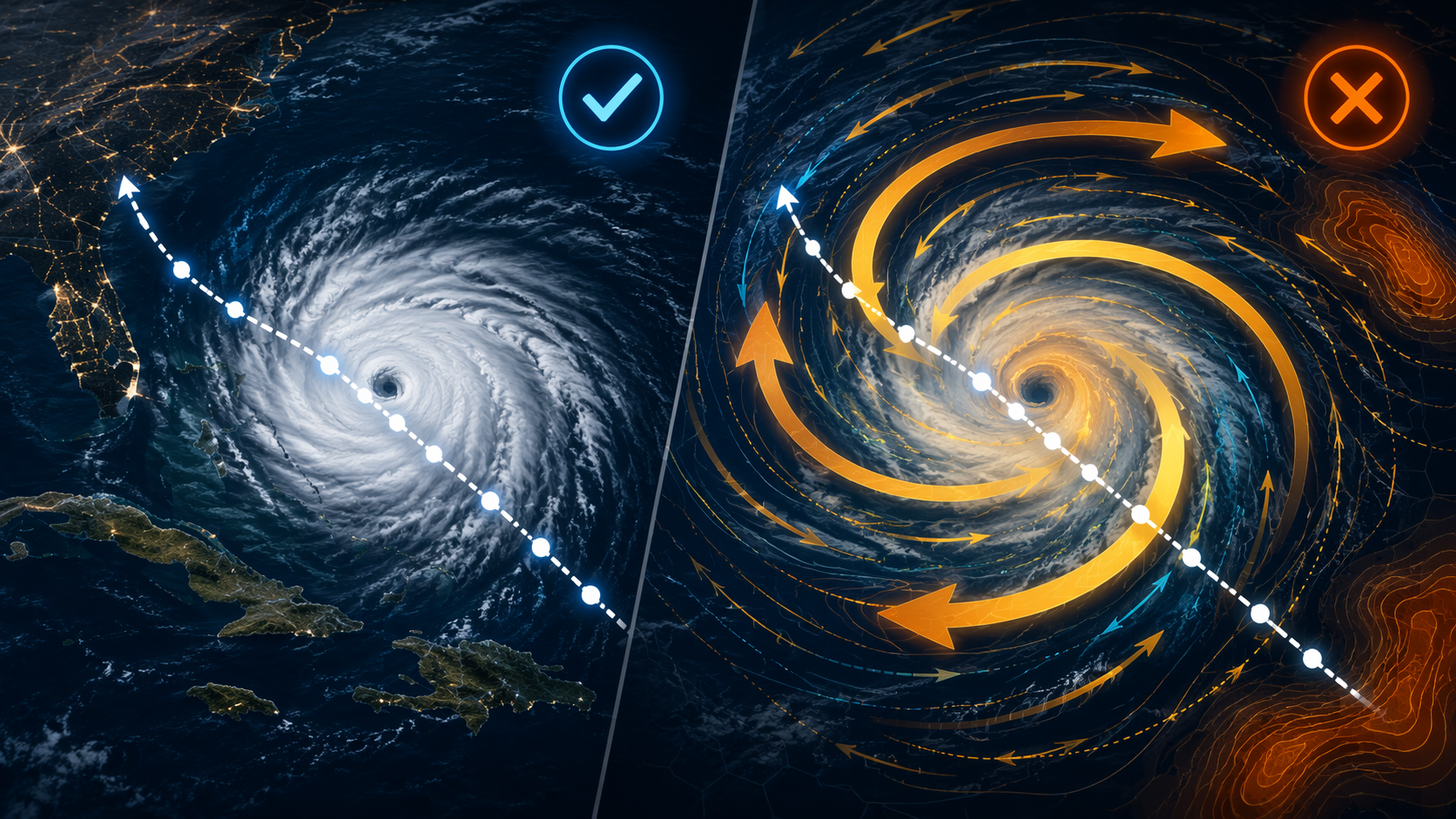
Rice University's 2026 study looked at roughly 200 storms using Pangu-Weather and Aurora and found the gap that matters most in practice: tracks were often good, but the storm's internal structure was not always physically credible [4]. The models tended to overestimate inner-core size, especially in stronger storms, and they deviated from gradient wind balance near the center. CIRA's evaluation pushed the warning further by showing that unconstrained AI output can drift into impossible territory, including winds above 400 mph [5]. The useful forecast is not just the one that puts the center in the right ocean grid cell; it is the one a forecaster can trust to behave like a storm.
- HxUnet is aimed at bias correction rather than a full replacement for the forecast pipeline. In an AGU 2025 paper, it cut maximum sustained wind speed error from 17 m/s to 3.5 m/s and reduced mean sea level pressure error from about 30 hPa to 12 hPa across forecast days [6].
- NASA JPL's rapid-intensification model focuses on a narrower high-stakes task. It improved detection probability by 60% for 35+ mph per 24-hour RI events and by 200% for 40+ mph events compared with the NHC operational model [7].
What Researchers Are Testing In 2026
The 2026 frontier looks less like a victory lap and more like a hybrid repair job. DeepMind expanded its ensembles from 50 to 1,000 members, which makes the spread of possible outcomes much richer even before you ask whether the center track is perfect [1]. NOAA also launched HGEFS, a 62-member grand ensemble split between 31 physics-based members and 31 AI members, so the two approaches can check one another inside the same forecasting system [3].
Georgia Tech's physics-informed AI work points in the same direction outside the wind field. In a Hurricane Sandy case study, it forecast building-level flood depths 3 to 5 days before landfall with beyond 90% accuracy [8]. Because the 2026 hurricane season is still underway, those updates are best read as where the field is testing now, not as a finished verification story. The current best answer is a hybrid forecasting ecosystem where AI speed, physics-based consistency, and human judgment check one another.
References
- AI Hurricane Forecasting - NOAA Weather
- AI weather models are changing the hurricane forecasting game - Michael R. Lowry Substack
- NOAA deploys new generation of AI-driven global weather models - NOAA
- AI weather models show promise for hurricane forecasts, but a new Rice study finds key physical limits - Rice University
- AI hurricane forecasting: a new hammer in the toolbox for saving lives and property - CIRA
- AGU paper (HxUnet & model evaluation) - AGU
- A machine learning assist to predicting hurricane intensity - NASA Jet Propulsion Laboratory
- How AI-powered flood forecasts could transform hurricane resilience - Georgia Tech Research
Comments
Join the discussion with an anonymous comment.